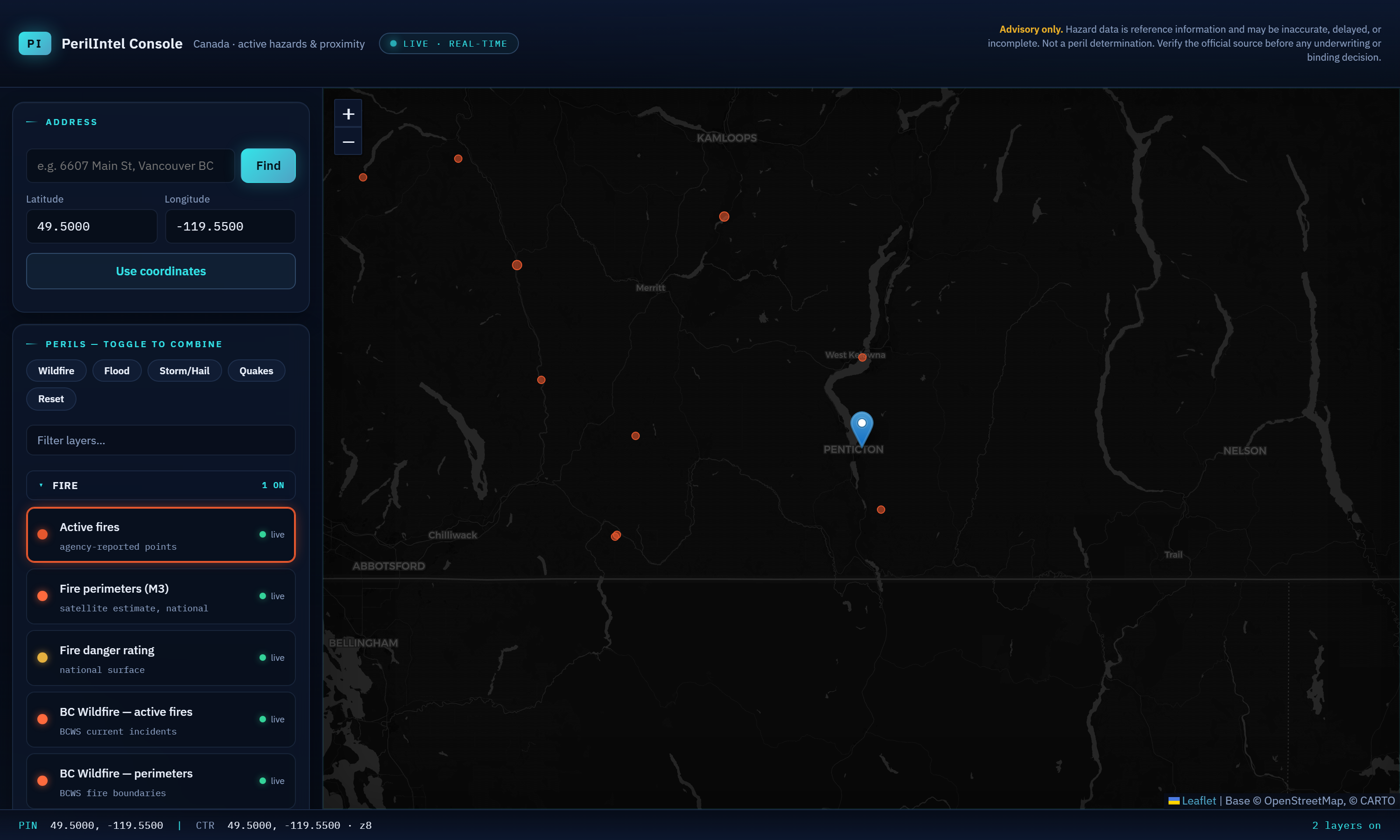
Most cat tools are a black box. We'd rather tell you exactly what's behind each answer: which source, how fresh, and whether it's a live event, a historical record, a warning, or licensed measurement. If we can't stand behind a number, we label it — never fabricate it.
| Layer | Source | Freshness | Grade |
|---|---|---|---|
| Wildfire | |||
| Active fires & perimeters | CIFFC / NRCan | Live (≈daily, ≤5-min cache) | Live |
| Fire danger rating | NRCan CWFIS | Daily | Live |
| Historical fires (10-yr+) | NRCan NFDB + NBAC | Archive (~2–3 yr lag, own-store fills the gap) | Historical |
| Flood | |||
| Active flood extent | geo.ca / NRCan | Live | Live |
| Realized-flood frequency | Own collection engine | Accruing since we started collecting | Historical |
| Mapped flood zones (in/out) | Provincial maps | Not yet integrated | Roadmap |
| Hail & storm | |||
| Severe-storm / hail warnings | ECCC weather alerts | Live — harvested every 5 min | Live |
| Warning frequency & warned size | Own collection engine | Accruing (parsed from alert text) | Warning-grade |
| Confirmed hail & measured stone size | Licensed (Opta / CatIQ) | On the roadmap | Licensed |
| Earthquake | |||
| Recent seismicity (M2+) | USGS | Live (past 12 mo) | Live |
| Location | |||
| Geocoding | NRCan + Google fallback | Live; precision flagged (rooftop / interpolated) | Live |
A current, real-time reading — an active fire, an open flood extent, a storm warning issued now.
A recorded past event from an official archive or our own accumulating store. Real, dated, source-attributed.
A warning was issued — not proof hail actually fell, and sizes are parsed from the alert text, not measured. We say so, every time.
Determination-grade data (confirmed hail, measured size, mapped flood zones) we add via a licensed feed where the economics justify it.
Every storm and hail warning, every flood extent, every active fire — nationally, around the clock, into a spatial database that keeps growing. No free archive carries confirmed hail history in Canada, so we build our own frequency record forward from day one. The counter on our home page is this store, live.
Honest caveat: it's warning-grade and young today. That's exactly why we label it — and why confirmed, measured hail is a licensed layer on the roadmap, not a claim we make now.

Insured locations are handled as coordinates — no policyholder PII required to score a risk. PIPEDA-conscious by design.
Every output is decision-support, never a peril determination, rating, or underwriting decision.
Each assessment is logged with its inputs, timestamp, source provenance and a rules hash.
Currently hosted in North America; Canadian-region hosting is available for enterprise on request.
We'll show you exactly what PerilIntel knows about your book — and, just as honestly, what it doesn't yet.