PerilIntel turns a street address into a scored, decision-ready cat read in seconds — through one API or the live console. Switch on only the modules you need.
Your quote system, policy platform or bot passes the risk address (or coordinates). PerilIntel geocodes it server-side.
It measures distance to active wildfire, flood, hail and earthquake activity and returns a 0–100 score, an A–E grade, and a REFER / REVIEW / CLEAR verdict with a per-peril breakdown.
At bind, a fresh check confirms no active wildfire or flood within range. A data gap returns VERIFY — never a silent clear.
Each module stands alone or works together — priced per section.
Address-level multi-peril score, A–E grade and a REFER / REVIEW / CLEAR triage verdict, with the dominant peril and the reasons behind it. The core read on any risk.
A fresh wildfire / flood gate the moment you bind — clear-to-bind, or blocked with the reason (e.g. "active wildfire 28 km away"). A data gap returns VERIFY, never a silent clear. Configurable radius per program.
Per-peril frequency over last-year / 5-yr / 10-yr windows with a trend read and freshness stamps — anchored to the data's own coverage, and honest about what's warning-grade vs confirmed.
Was there really a fire / flood / storm at this address on this date? Returns CONSISTENT / INCONSISTENT / INCONCLUSIVE with findings — the same data, sold to the claims desk.
Overlay your whole book on live hazards. See the insured value sitting inside a fire perimeter or flood zone, rank what's exposed, and act when an event grows.
Batch re-screen a book at renewal, diff how each location's risk drifted since last run, and hold an exit when an active event is in range — you never non-renew into a live catastrophe.
Multi-source Canadian hazard data — live where it's live, historical where it's recorded, labelled where it's warning-grade.
Active fires, perimeters & danger rating; 10-yr history (NFDB / NBAC).
Active flood extent & warnings; accruing realized-flood frequency.
Live severe-storm & hail warnings; warning frequency & warned size.
Recent seismicity (USGS), sized by magnitude.
Confirmed, measured hail and mapped flood zones are a licensed layer on the roadmap — we tell you what's warning-grade today rather than dress it up. See our data, honestly →
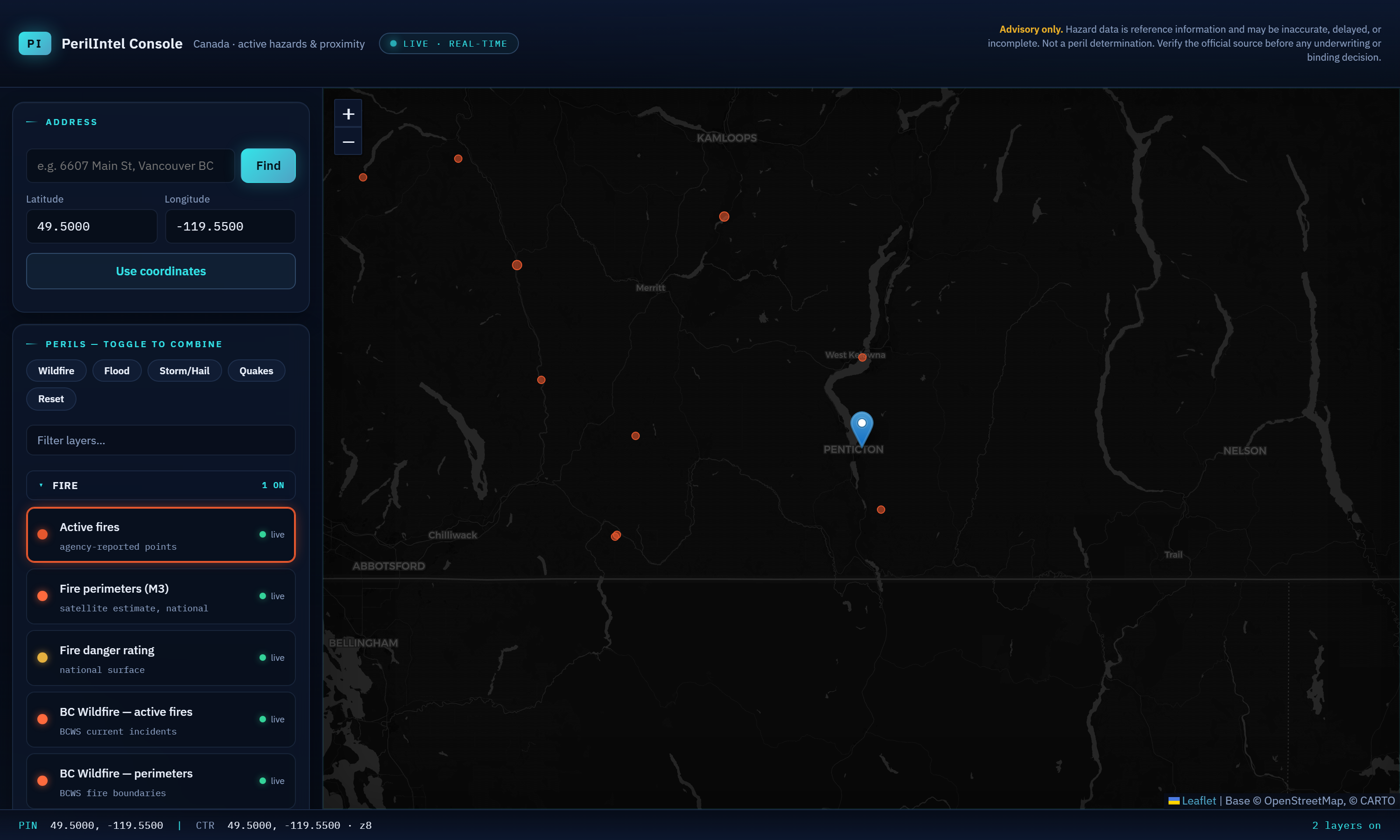
Book Exposure plots every insured location against live hazards and answers the question capacity providers actually ask: how much insured value sits inside this fire perimeter or flood zone — right now. When an event grows, you see which policies are newly exposed and act.

Score, clearance, exposure and automation — through one API or the live console.